Services
Mapping
Inspections
Inspections
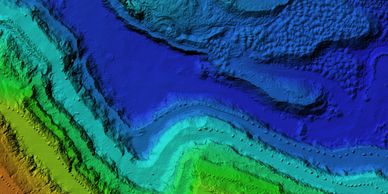
2D and 3D GIS aerial imaging survey mapping
Inspections
Inspections
Inspections
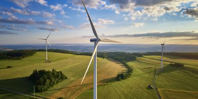
Home and property inspections, wind turbine farm inspections, high resolution maps, 3D models, roof features, square footage
Engineering
Inspections
Engineering
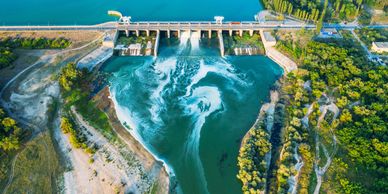
Maintenance inspections in difficult to reach areas, dam inspections, assessing foundation cracks, pipeline surveys
Agriculture
Environmental Monitoring/Conservation
Engineering

Crop inventory, mapping/studying farmland and irrigation systems, identify failing plants early, monitor animals and gather data about animal health and population
Environmental Monitoring/Conservation
Environmental Monitoring/Conservation
Environmental Monitoring/Conservation

Animal management conservation, river and flood assessment, change monitoring, coastal management, terrain modeling, plant conservation, forestry
Construction Sites
Environmental Monitoring/Conservation
Environmental Monitoring/Conservation
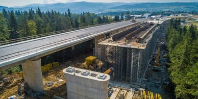
3D renderings of potential buildings mapped on construction sites, understanding construction progress, site modeling